Destinations / Colorado
Medano Pass by Jeep near Great Sand Dunes
A practical overview of the mountain crossing near Great Sand Dunes, from vehicle requirements and changing conditions to roadside camping.
Test article · AI-assisted draft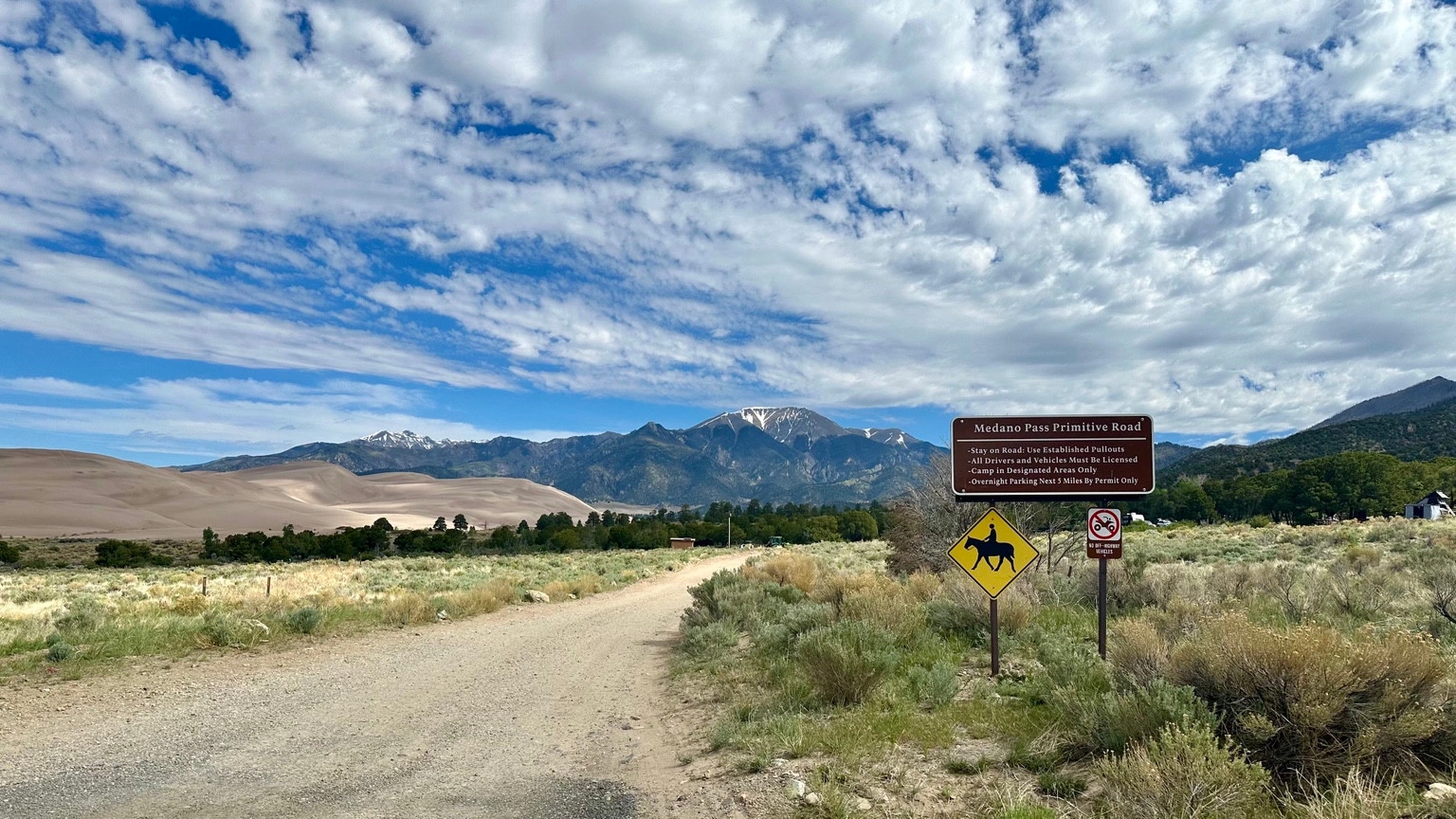
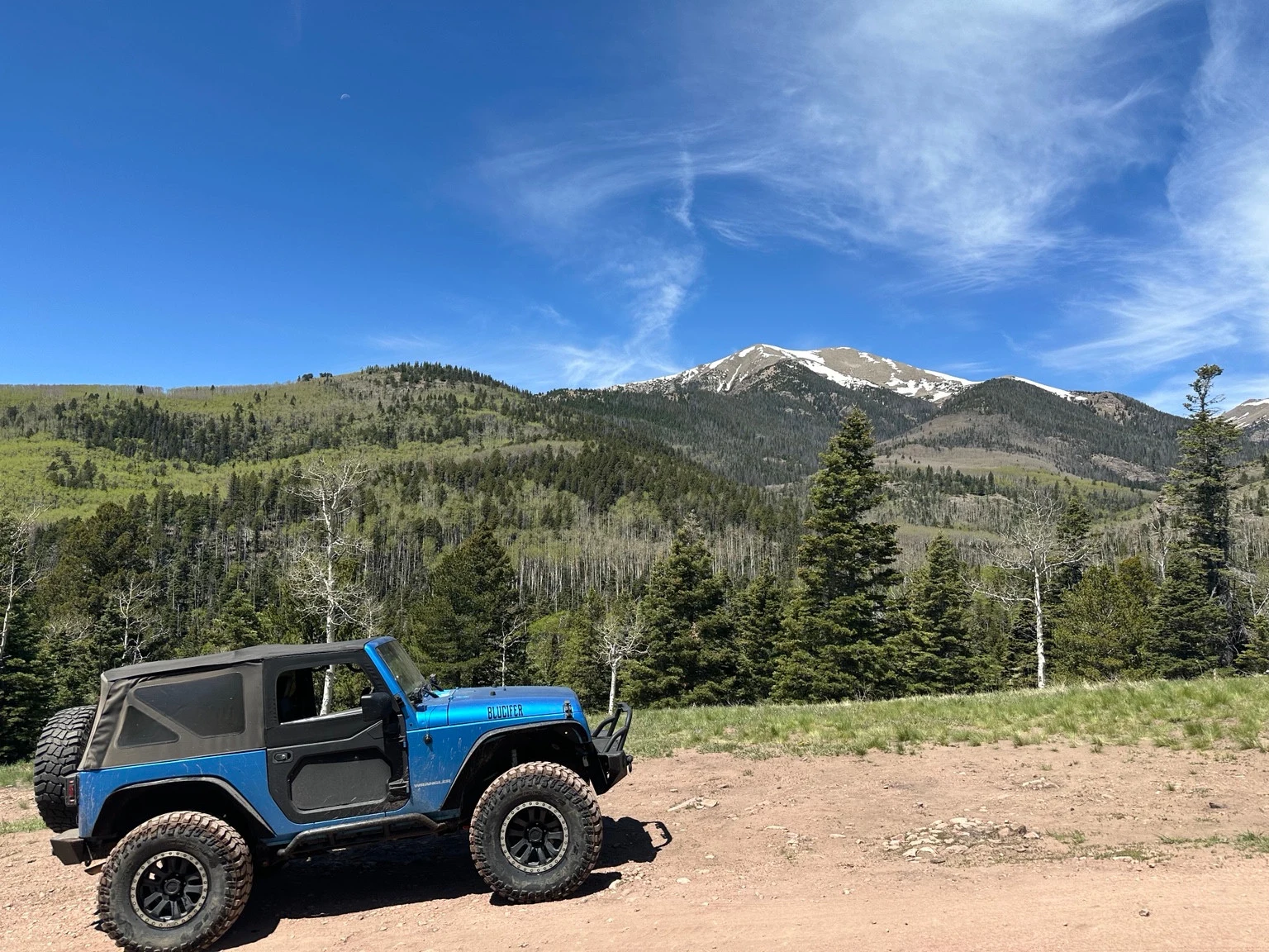
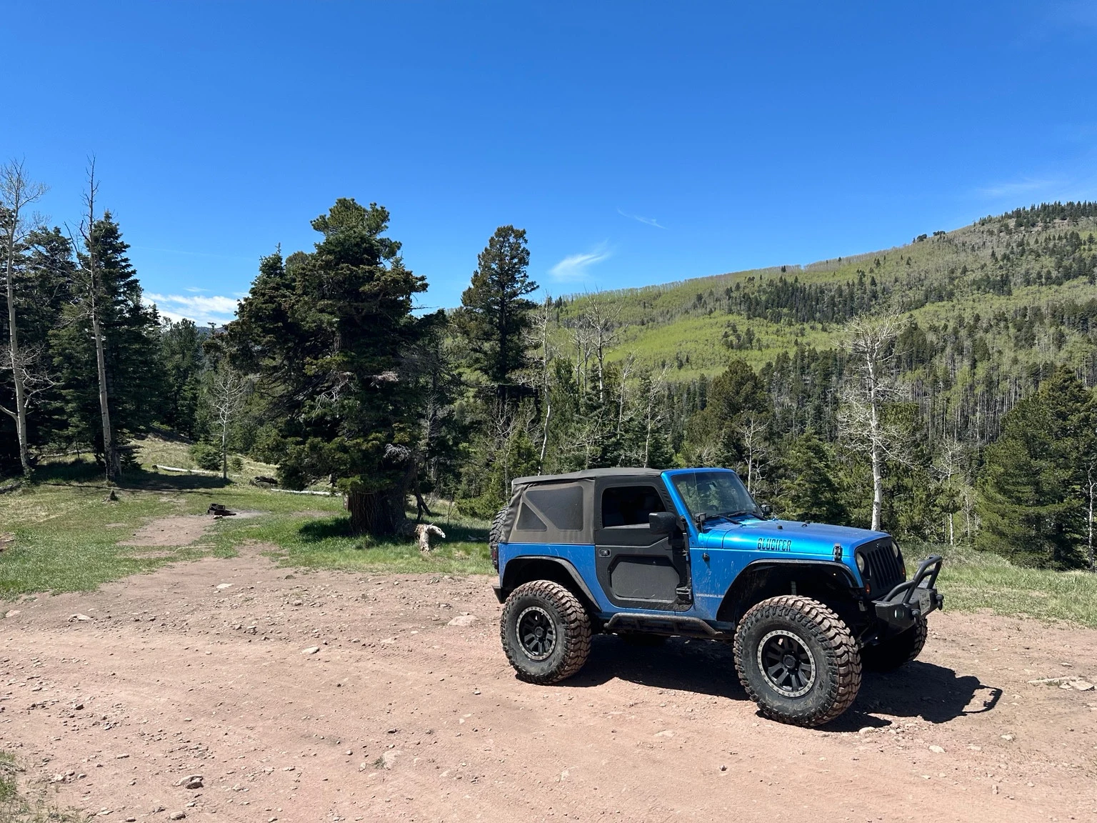
Medano Pass connects two kinds of Colorado driving in one route: the sandy edge of Great Sand Dunes and a mountain crossing through the Sangre de Cristo Range. Joseph has taken his Jeep over the pass. For a Jeep owner, the combination of terrain gives this crossing a clear appeal, along with some practical demands that deserve attention before leaving pavement.
For anyone considering the trip, the important planning question is whether the vehicle, conditions, and available time fit the route. Treat the crossing as the day's main activity, with enough flexibility to turn around.
The route in context
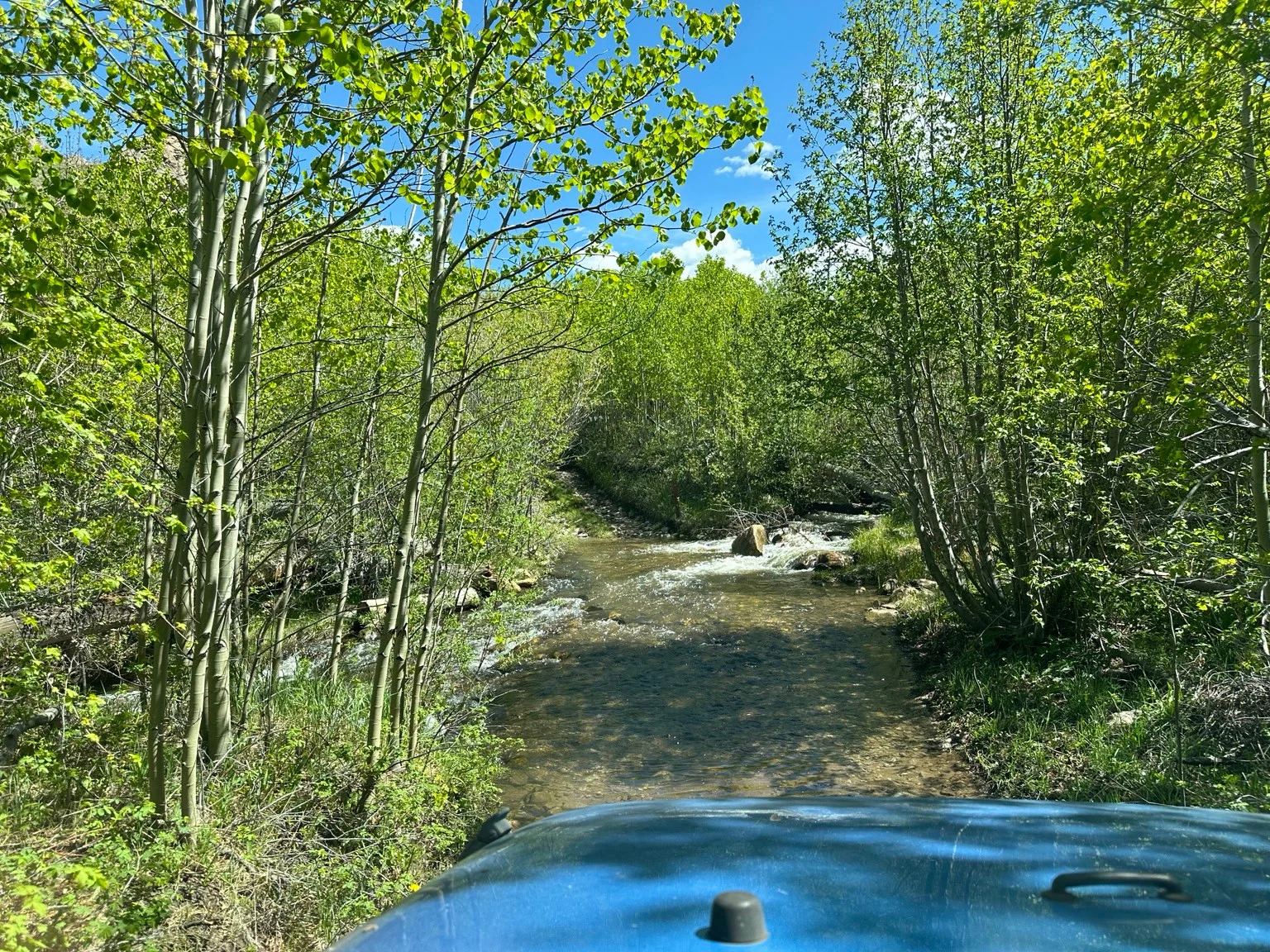
The National Park Service describes Medano Pass Primitive Road as a rough, 22-mile connection between Great Sand Dunes and Colorado Highway 69 in the Wet Mountain Valley. The pass reaches 10,040 feet. Along the way are deep sand, rocky sections, and nine crossings of Medano Creek. NPS estimates about 2½ to 3 hours for the full drive; delays and stops need additional time. High-clearance four-wheel drive with a low-range transfer case is required, and AWD and 2WD vehicles are prohibited between the Point of No Return and Medano Pass. ATVs and UTVs are prohibited in the park and preserve. NPS route guide
The park-side approach follows the edge of the dunefield before crossing the mountains. It also provides access to the Sand Ramp and Medano Lake trailheads. Those possibilities are worth separating when planning: a through-drive, a hike, and a night out each need their own time allowance. Trying to fit all three into a tight schedule leaves little room for a slower stretch of road. NPS getting around guide
A crossing with a longer history
The route's story began long before recreational four-wheeling. Indigenous people used Medano and nearby Mosca Pass as passages into the San Luis Valley for thousands of years. Both became wagon roads in the late nineteenth century. Medano's sand and difficult creek crossings made it a less desirable route, and it also served as access to the Herard Homestead. NPS history of the passes
That history gives a Jeep trip useful perspective. The road is part of a much older pattern of movement across these mountains. Reading a little about the corridor beforehand adds context to the map and gives the drive more to it than a sequence of obstacles.
Prepare for changing conditions
The usual driving season runs roughly from mid-May through late November, subject to conditions. Check the dates against current access information rather than treating them as a guaranteed window. NPS seasonal access overview
Access depends on weather and road conditions. The preserve can close the route for hazardous runoff or ice, snow, muddy ground, washouts, fallen trees, or other hazards. Keep the itinerary flexible and honor closures and ranger guidance. An earlier visitor's successful crossing cannot establish what will be safe on your travel day. NPS preserve regulations
Carry a compressor if your tire plan involves airing down: NPS advises reinflating before the rocky canyon sections. The agency also warns that there is no cellular signal along the road. Download the route information before leaving, share your plan with someone, and choose turnaround criteria before you encounter a difficult section. NPS route preparation
A useful pre-trip conversation is simple: How much daylight is available? What happens if progress takes longer than expected? Where will you go if the through-route is unavailable? Answering those questions ahead of time makes changing the plan much easier.
Camping along the road
There are 21 designated roadside campsites in the national preserve, beginning 5.2 miles from the road's park-side start near Piñon Flats Campground. They are free and first-come, first-served; Recreation.gov does not offer reservations for them. Have an alternative overnight plan rather than assuming an empty site will be waiting at the end of the drive. Official campsite listing
Use marked sites and keep vehicles within their designated parking areas. Tents must stay within 40 feet of, and in view of, the front of the food-storage locker. Secure food, toiletries, cooking equipment, and garbage according to the preserve's bear-storage requirements. Pack out toilet paper and use the permitted waste-disposal methods. Check current fire restrictions before planning a campfire, even when a site has a fire grate. NPS camping regulations
Leave time for the dunes
If a walk on the dunes is part of the visit, plan around the weather. Summer sand can become dangerously hot; NPS recommends early morning or evening and closed-toe shoes. Thunderstorms are another reason to keep the schedule flexible. Seek shelter in a building or vehicle when thunder or storm clouds signal danger. Bring drinking water, and treat backcountry surface water before drinking it. NPS safety guidance
Before departure, read the dated advisories on the NPS road page and follow its Forest Service link for the eastern continuation. Check again close to the drive. The best plan for Medano Pass includes the option to save the crossing for another day.
From Joseph’s trip